News
Fresh Snowfall Alert for Higher Reaches of Himachal from Today; Western Disturbance to Affect Western Himalayan Region
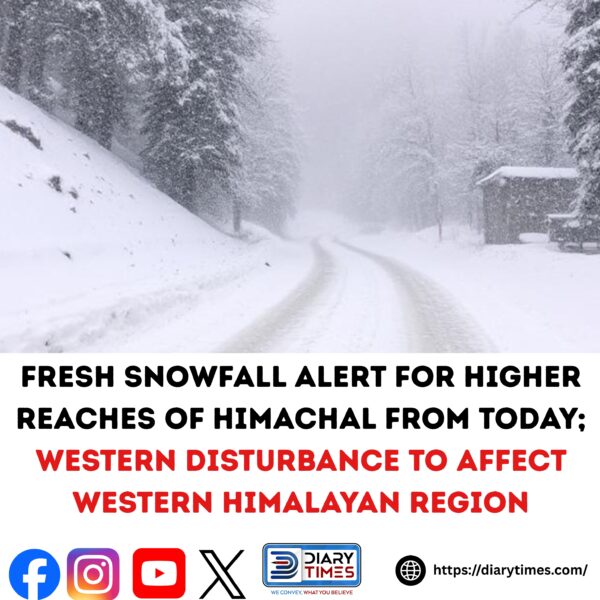
Fresh snowfall is likely over the higher reaches of Himachal Pradesh on November 4 and 5, while light rain may occur in several other parts of the state due to a new western disturbance expected to impact the western Himalayan region.
The State Meteorological Department has issued a yellow weather warning for Mandi, Kangra, Chamba, Hamirpur, Bilaspur, and Una districts for November 4, indicating the likelihood of rain accompanied by thunder and lightning at isolated places within the next 24 hours.
Light snowfall is expected in the higher reaches of Kinnaur, Lahaul and Spiti, as well as parts of Shimla, Mandi, Kullu, Kangra, and Chamba districts. Light rain is also likely across several parts of the state over the next 48 hours.
Cold wave conditions are expected to persist, with minimum temperatures likely to drop by 4°C to 5°C and maximum temperatures by 3°C to 6°C over the next three days. The weather is expected to turn dry across the state from November 6 onward.
During the past 24 hours, the weather remained dry, with clear skies and bright sunshine across most regions. Minimum temperatures were 2°C to 3°C above normal, ranging from -1°C to 18°C, while maximum temperatures were also 2°C to 3°C above normal, ranging between 15°C and 31°C.
In terms of key temperature readings:
- Shimla recorded a maximum of 19.8°C
- Dharamshala: 25°C
- Manali: 19.5°C
- Mandi: 27.7°C
- Kangra: 26.7°C
- Nahan: 24.8°C
- Kalpa: 20.2°C
- Bhuntar and Sundernagar: 27°C
- Hamirpur: 30.2°C
- Kufri: 16.9°C
- Kasauli: 19.5°C
- Narkanda: 17.9°C
- Reckong Peo: 24.2°C
Una remained the warmest location in the state at 30.4°C, while Kukumseri in Lahaul and Spiti was the coldest, recording a minimum temperature of -1.5°C.